
Note: We have a sheer ton of worksheets available in this area. Please scroll down to find the state of interest to you. With this series of 50 States worksheets students learn about the uniqueness of each state and learn the physical appearance of the state itself. We look at what makes each state different yet similar to others. We look at the natural resources, common industries and contributions to the Union of states. We cover every single state and leave no stone unturned while getting to know them. We examine each state as itself, the people, geography, and culture. We also look at general issues such as state abbreviations and the people that shaped the history of each state.
Print 50 States Worksheets
Click the buttons to print each worksheet and associated answer key.
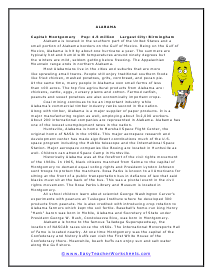
Alabama
Being on the Gulf of Mexico, Alabama is hit by about one hurricane a year. The summers are typically hot and humid with temperatures around ninety degrees but the winters are mild, seldom getting below freezing.
Alabama Short Answer Questions
Why does it make sense that Alabama has a paper products industry? Hint: look up what paper is made from.

Alabama Information Organizer
Coal mining continues to be an important industry while Alabama's commercial timber industry ranks second in the nation.
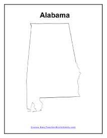
Alabama State Map
Historically Alabama was at the forefront of the civil rights movement of the 1960s.
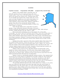
Alaska Reading Worksheet
Alaska is the largest state in physical size. At 663,267 square miles, it is twice as big as the next largest state, Texas. Only 670,000 people live in Alaska, about one person per square mile.
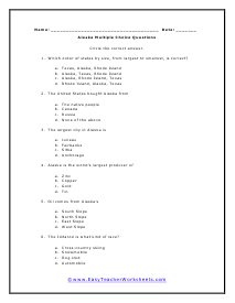
Alaska Multiple Choice Questions
Which order of states by size, from largest to smallest, is correct?
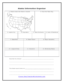
Alaska Information Organizer
Alaska is home to remarkably beautiful natural scenery, from glaciers that touch the pure ocean waters to magnificent mountain ranges to vast wilderness areas filled with wildlife.
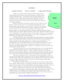
Arizona Reading Worksheet
Arizona is located in the desert southwest part of the United States and is home the Grand Canyon, created by the mighty Colorado River.
Arizona Short Answer Questions
Central air conditioning became cost-effective and popular in the 1970s and 1980s. How do you think that affected the population growth of the Phoenix area?
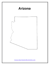
Arizona Map
Arizona is located in the desert southwest part of the United States and is home the Grand Canyon, created by the mighty Colorado River.

Arizona Information Organizer
Arizona has been one of the fastest growing states for at least twenty years. In 1990 the population of Arizona was just 3.6 million people and the census indicated that only 34 percent living in Arizona were born there.
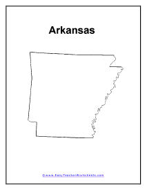
Arkansas
The nickname of Arkansas is "The Natural State" because of the natural beauty of the landscape. Arkansas is located in the south central part of the United States directly north of Louisiana and directly south of Missouri.
Arkansas Multiple Choice Questions
What major American store chain has its headquarters in Arkansas?
Arkansas Short Answer Questions
Write a short report about the famous Arkansas businessman Samuel Walton or J. B. Hunt.
Map of Arkansas
Although the state is primarily rural most of the population lives in the urban areas of the state. Large parts of state have less than 20 inhabitants per square mile.

Arkansas Information Organizer
About one-quarter of the people earn a living in wholesale and retail trade. The small town Bentonville is home to the world headquarters of the Wal-Mart corporation.
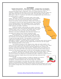
California Reading Worksheet
Think big when you look at California. California is the third largest state in size and the largest state in population.
California Short Answer Questions
The California economy is rank eighth in the world and is larger than most countries, including Spain. Do you think the governor of California is more powerful than the prime minister of Spain?
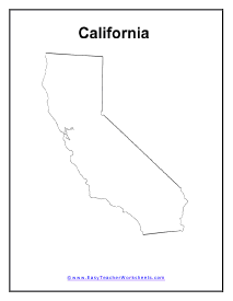
Map of California
California weather varies greatly by location. Mountain peaks experience snow and freezing temperatures while desert locations reach 120 degrees F in summer.

California Information Organizer
The California economy is the largest of any state and ranks eighth in the world, not much smaller than the economy of China, the U.K., France or Italy.
Colorado
The tallest mountain in Colorado, Mount Elbert, is a whopping 14,433 feet. In fact, the entire state is higher than 3,000 feet above sea level.
Colorado Short Answer Questions
Look up more information about the Colorado River. What states does the Colorado River run through?
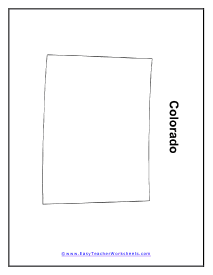
Colorado Map
With magnificent mountain scenery, tourism is a major industry in Colorado. The Rocky Mountain ski resorts attract skiers and snowboarders from around the world.

Colorado Information Organizer
Most of the people of Colorado live in the urban areas around Denver and Colorado Springs. Coloradans are ethnically diverse, drawing on Native Americans, early white settlers who came to Colorado from eastern states, early immigrants from Mexico and recent Southeast Asian immigrants who settled in Colorado after the Vietnam War.
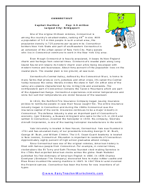
Connecticut Reading Worksheet
One of the original thirteen colonies, Connecticut is among the country's smallest states, ranking 48th in size.
Connecticut Multiple Choice Questions
What industry was founded in Connecticut during the early 1800s?
Connecticut Short Answer Questions
. Explain why you think so many people in Connecticut want to live on the Coastal Plain.
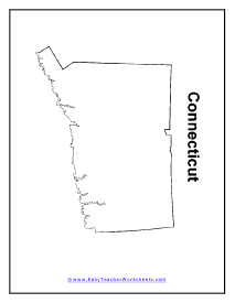
Map of Connecticut
Even though Connecticut is heavily populated, it keeps its New England charm and heritage from colonial times.

Connecticut Information Organizer
Yale University is located in New Haven, Connecticut. Yale was founded in 1701 and has educated many of our presidents including George H. W. Bush, George W. Bush, and William Clinton.
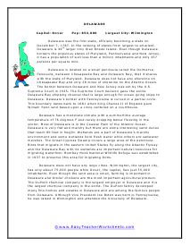
Delaware Reading Worksheet
Delaware is located on a small peninsula called the Delmarva Peninsula, between Chesapeake Bay and Delaware Bay, that it shares with the state of Maryland.
Delaware Short Answer Questions
Look up more about the Atlantic Flyway and write a short report about its location and the types of birds that use it.
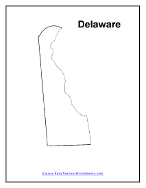
Delaware Map
Delaware has a moderate climate with a summertime average temperature of 76 degrees F and rarely dropping below freezing in the winter.

Delaware Information Organizer
Delaware does not have any large cities. Wilmington, the largest city, has only about 75,000 people while Dover, the capital, has just 35,000 inhabitants.
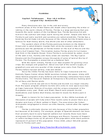
Florida Reading Worksheet
Many Americans who live in the cold and snowy northern areas of the United States still dream about spending the winter or retiring in the warm climate of Florida.
Florida Multiple Choice Questions
The Little Havana district in Miami is named after the capital of ____________.
Florida Short Answer Questions
Florida experiences many hurricanes yet 300,000 people move to Florida each year. Would you move to Florida? Explain why or why not.
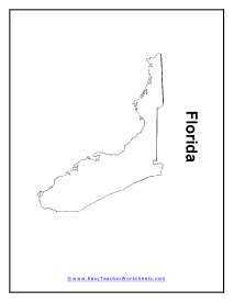
Map of Florida
The eastern shore of the Florida peninsula borders on the Atlantic Ocean and is called Atlantic Coastal Plain while the western side of the peninsula and the panhandle of Florida border on the Gulf of Mexico and the land is Gulf Coastal Plain.

Florida Information Organizer
Since the 1960s Florida has been home to Cape Canaveral and the Kennedy Space Center where NASA launches rockets into space.
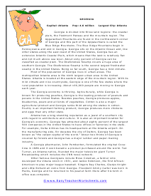
Georgia Reading Worksheet
Most of the population of Georgia lives in urban areas. The metropolitan Atlanta area is the ninth largest urban area in the United States.
Georgia Multiple Choice Questions
What crop did President Jimmy Carter raise on his farm in Georgia?
Georgia Short Answer Questions
Georgia has attracted about eighty percent of the largest 500 companies in the United States. How many is that? What is the ratio?
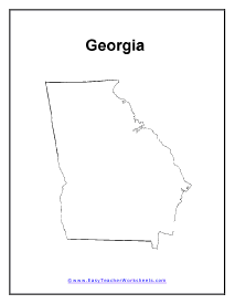
Map of Georgia
The Georgia economy is thriving. Agriculturally, while Georgia is known for producing peaches, Georgia is the leading producer of peanuts and pecans in the United States.

Georgia Information Organizer
A Georgia pharmacist, John Pemberton, formulated the original CocaCola in 1886 and it soon became a product purchased around the world.
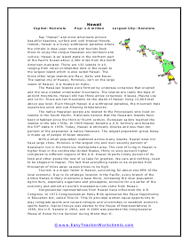
Hawaii Reading Worksheet
Hawaii is an island state in the northern part of the Pacific Ocean about 2,300 miles from the North American mainland.
Hawaii Multiple Choice Questions
Honolulu, the capital of Hawaii, is located on the island of ______________.
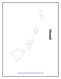
Map of Hawaii
The Hawaiian Islands were formed by undersea volcanoes that erupted and the lava created underwater mountains.

Hawaii Information Organizer
With a small population scattered across many islands, Hawaii does not have large cities. Honolulu is the largest city and over seventy percent of Hawaiians live in the Honolulu metropolitan area.
Idaho Worksheet
Idaho is located in the northwestern region of the United States. The state is between Montana on the east and Washington State on the west in the narrow upper portion and Wyoming on the east and Oregon on the west in the wide lower portion of the state.
Idaho Short Answer Questions
The Nez Perce Indian Reservation is in northern Idaho. Do some research about the Nez Perce Indians and write a short report that includes where they came from and how they got to Idaho.
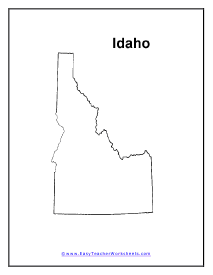
Idaho Map
An area of southeastern Idaho is known as the Great Basin and the Great Basin extends into Utah and Nevada. This part of Idaho is desert territory.

Idaho Information Organizer
Idaho has an active manufacturing economy that is related to lumber and wood products from the vast forests. Much of the land in Idaho is classified as national forest. Idaho is famous for the production of potatoes and about half of Idaho's potato crop is processed in the state into frozen potato products.
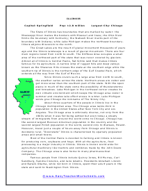
Illinois Illinois
The Great Lakes are the result of glacial movement thousands of years ago and the Illinois landscape is a result of glacial movement.

Illinois Multiple Choice Questions
Since Illinois covers such a large area from north to south, the weather varies across the state.
Illinois Short Answer Questions
Look up the population of New York City, Los Angeles and Chicago. Create a bar graph that compares the population of these three cities.
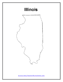
IL State Map
About three-quarters of the people in Illinois live in the Chicago metropolitan area. The Chicago area ranks third in population in the United States after New York City and Los Angeles.

Illinois Information Organizer
Most of the Central Plains is devoted to farming and Illinois is known for producing corn, soybeans and hogs.
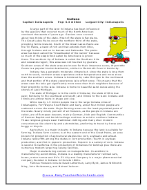
Indiana
A large part of the land in Indiana has been influenced by the glaciers that covered much of the North American continent thousands of years ago.
Indiana Multiple Choice Questions
Indiana has a generally moderate climate but, since the state is long from north to south, northern areas experience colder temperatures and more snow than the southern areas.
Indiana Short Answer Questions
There are several versions of how people from Indiana came to call themselves Hoosiers. Look up more information about the name Hoosier and write a short report of how the name came about.
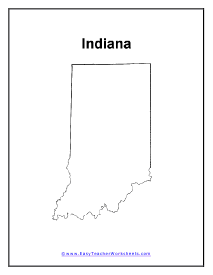
Indiana State Map
While nearly 1.5 million people live in the large Indiana cities of Indianapolis, Fort Wayne South Bend and Gary, about four million people are scattered across the state.

Indiana Information Organizer
Famous Hoosiers include David Letterman, Larry Byrd, James Whitcomb Riley, John Mellencamp, and Michael Jackson.
Iowa Worksheet
Tens of thousands of years ago the Nebraskan glacier covered the land known today as Iowa with ice about one mile deep.
Iowa Short Answer Questions
Describe loess. What two places on earth have the greatest accumulation of loess?
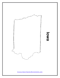
Map of Iowa
The Young Drift Plains cover the central and northern part of Iowa and is a flat fertile plain left by the receding glaciers.

Iowa Information Organizer
Most people in Iowa are descendants of European settlers who arrived in the 1800s looking for farmland.
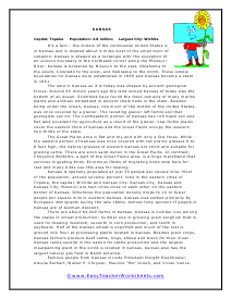
Kansas Reading Worksheet
The land in Kansas as it is today was shaped by ancient geological forces. Around 65 million years ago the land-locked Kansas of today was the bottom of an ocean.
Kansas Multiple Choice Questions
Kansas has the largest concentration in North America of what natural resource?
Kansas Short Answer Questions
Explain the difference between a swamp and a marsh. If you don't know, look up the words in a dictionary.
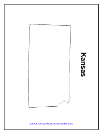
Map of Kansas
The Great Plains area is flat and dry and with only a few trees. While the eastern portion of Kansas was once covered with tall prairie grasses 6 to 8 feet high, the natural grasses of western Kansas are short and suitable for grazing cattle.
Kansas Information Organizer
Kansas is sparsely populated at just 34 people per square mile. Most of the population, around seventy percent, lives in the eastern cities of Topeka, the capital, Wichita and Kansas City.
Kentucky Worksheet
The Appalachian Mountains form the eastern boundary with West Virginia and Virginia.
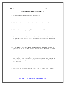
Kentucky Short Answer Questions
Kentucky used to be an important source of coal for the industries of the eastern United States. Why has the production of coal in Kentucky declined? What can you conclude about natural resources from this information?
Kentucky State Map
Since the 1960s Kentucky has changed from a predominantly rural state due to a determined effort by the state government to modernize the Kentucky economy.

Kentucky Information Organizer
Famous people from Kentucky include Harland Sanders who created the Kentucky Fried Chicken national chain of restaurants now known simply as KFC.
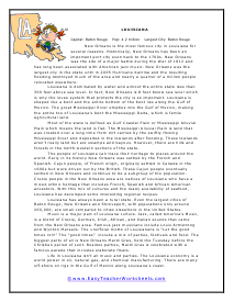
Louisiana Worksheet
New Orleans is the most famous city in Louisiana for several reasons. Historically, New Orleans has been an important port city even back to the 1700s.
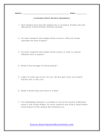
Louisiana Short Answer Questions
New Orleans once was the largest city in Louisiana. Explain why the population of New Orleans declined recently.
Map of Louisiana
Most of the state is defined as Gulf Coastal Plain or Mississippi Alluvial Plain which means the land is flat.

Louisiana Information Organizer
The people of Louisiana can trace their heritage to places around the world. Early in its history New Orleans was settled by the French and Spanish. Cajun people, of French origin, originally settled in Canada in the 1600s but were driven out by the British.
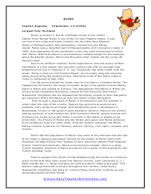
Maine Worksheet
Even though Maine is one of the six New England states, it was not one of the original thirteen colonies like the other New England states of Massachusetts, New Hampshire, Connecticut and Rhode Island. Maine was a detached part of Massachusetts until it became a state in 1820.
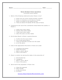
Maine Multiple Choice Questions
Compared to the rest of the continental United States the weather in Maine is like what?
Maine Short Answer Questions
If almost all the people in Maine come from European heritage tracing their lineage to early American settlers from England, France, Ireland and Germany, how can about one-quarter of the population have French Canadian roots?
Map of Maine
The low ground along the ocean rises to mountains in western Maine. The Appalachian Mountains, the major mountain range in the eastern United States, begin in Maine and extend to Georgia.
Maine Information Organizer
Even though a large part of Maine is mountainous and the weather is colder than the rest of the country, Maine's top agricultural products are potatoes, dairy products and eggs. Wild blueberries grow in abundance in Washington County in flat ground called blueberry barrens.

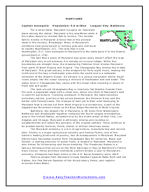
Maryland Worksheet
For a small state, Maryland occupies an important place among the states: Maryland is the wealthiest state in the nation based on median family income.
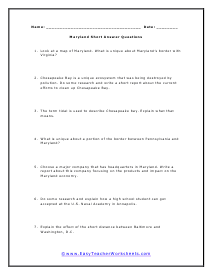
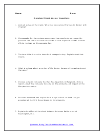
Maryland Short Answer Questions
Chesapeake Bay is a unique ecosystem that was being destroyed by pollution. Do some research and write a short report about the current efforts to clean up Chesapeake Bay.
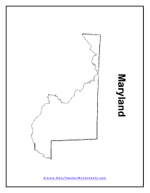
Map of Maryland
The fact that a piece of Maryland was given away doesn't affect the map of Maryland very much because it is already an unusual shape. While four boundaries are straight lines, the meandering Potomac River divides Maryland from parts of West Virginia and Virginia.
Maryland Worksheet
The fact that a piece of Maryland was given away doesn't affect the map of Maryland very much because it is already an unusual shape.
Maryland Short Answer Questions
Chesapeake Bay is a unique ecosystem that was being destroyed by pollution. Do some research and write a short report about the current efforts to clean up Chesapeake Bay.
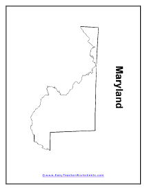
Maryland State Map
The land around Chesapeake Bay is relatively flat Atlantic Coastal Plain. For such a populated state with a small size, about one-third of Maryland's land is used for agriculture.

Maryland Information Organizer
Baltimore, the largest city in Maryland, is 38 miles from Washington. Baltimore and Washington together comprise the fourth largest metropolitan area in the United States, exceeded only by the metro areas of New York, Los Angeles and Chicago.
Massachusetts Reading Worksheet
Many famous events before and during the Revolutionary War occurred in Massachusetts. Boston, Lexington and Concord especially attract tourists who are interested in the early history of the United States.
Massachusetts Multiple Choice Questions
Which of the following leading universities is located in Massachusetts?
Massachusetts Short Answer Questions
There are six New England States. Name the New England States that border Massachusetts and their location relative to Massachusetts. If you don't remember the names of the New England States, be sure to look them up before answering this question.
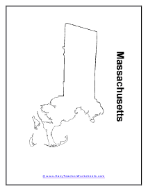
Map of Massachusetts
The eastern half of Massachusetts is low coastal ground. The sandy soil on the eastern edge of the state is suitable for growing blueberries, raspberries and cranberries.

Massachusetts Information Organizer
The climate in Massachusetts along the seacoast, where over half the population lives, is cooler in summer and warmer in winter than the rest of the state.
Michigan Reading Worksheet
Michigan has a unique shape. The state is divided into two regions called the Upper Peninsula in the north and the Lower Peninsula, the southern section of the state.
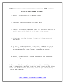
Michigan Short Answer Questions
In the U.S. we have North and South Carolina and North and South Dakota. Following this model, do you think Upper and Lower Peninsula should be North and South Michigan?
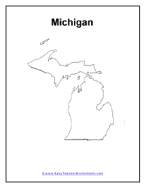
Michigan State Map
The Upper Peninsula juts out from Wisconsin which lies to the southwest. Lake Superior forms the northern boundary of the Upper Peninsula, both Lake Michigan and Lake Huron form the southern boundary.

Michigan Information Organizer
The Straits of Mackinac are the place where Lake Huron and Lake Michigan join. These straits are what separate the Upper Peninsula from the Lower Peninsula.
Minnesota Worksheet
Minnesota is a state on the northern border of the United States next to Canada. North and South Dakota are west of Minnesota and Iowa is to the south.
Minnesota Multiple Choice Questions
Minnesota land was formed by movement of ancient glaciers. The receding glaciers left behind flat fertile areas suitable for farming.
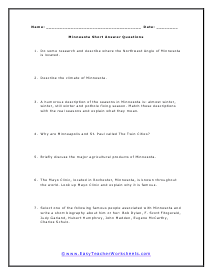
Minnesota Short Answer Questions
A humorous description of the seasons in Minnesota is: almost winter, winter, still winter and pothole fixing season. Match these descriptions with the real seasons and explain what they mean.
Map of Minnesota
Minnesota experiences a cold climate. The average July temperature is only 73 degrees F while it is not unusual for winter temperatures to remain below 0 degrees F during January and February.

Minnesota Information Organizer
About seventy percent of the population lives in what are called the Twin Cities of Minneapolis and St. Paul. They are called the Twin Cities because they started out as separate towns close together and eventually the population grew and filled in the area between and around them.
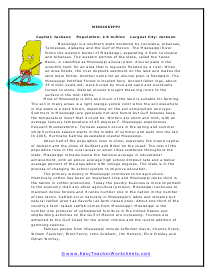
Mississippi Reading Worksheet
The Mississippi River forms the western border of Mississippi, separating it from Louisiana and Arkansas. The western portion of the state, called the Yazoo Basin, is classified as Mississippi alluvial plain.
Mississippi Multiple Choice Questions
Major agricultural products from Mississippi include farm-raised what?
Mississippi Short Answer Questions
A rare endangered species of sandhill crane lives in Mississippi. Do some research and write a short report and explain why these birds are unique.
Mississippi Map
About half of the population lives in cities, especially the inland capital of Jackson and the cities of Gulfport and Biloxi on the coast.

Mississippi Information Organizer
The primary industry in Mississippi continues to be agriculture. Historically cotton has been an important crop and Mississippi ranks third in the nation in cotton production.
Missouri Reading Worksheet
Missouri has one the most complicated outlines among all the states because four rivers form portions of its boundaries.
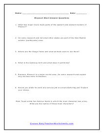
Missouri Short Answer Questions
What two major rivers mark parts of the eastern and western borders of Missouri?
Map of Missouri
Another major geographic feature is the Ozark Mountains. The Ozark Mountains were active volcanoes over a billion years ago.

Missouri Information Organizer
Almost seventy percent of the population lives in cities or suburbs. The two largest cities, Kansas City and St. Louis, are at opposite ends of the state.
Montana
In the early 1900s railroad magnates like James J. Hill wished to establish towns along rail routes to the Pacific that passed through Montana. He and others advertised in Europe, claiming that Montana land was fertile, there was sufficient rainfall and winters were mild.
Montana Short Answer Questions
How did the American railroad companies lure European settlers to Montana to create towns along the railroad routes? Could that happen today?
Montana Map
The State's economic history shows reliance on the abundant natural resources available there. Copper mining dominated the economy in the late 1800s and the Anaconda Company, a producer of copper, became the largest company in Montana.

Montana Information Organizer
Montana also is the location of vast reserves of soft coal which has been mined since the 1800s. By the 1970s coal mining operations converted to strip mining of coal which is similar to the idea of open-pit mining.
Nebraska Reading Worksheet
Nebraska is in the heart of America's Cornbelt and bears the nickname The Cornhusker State. Nebraska is the third leading state in the production of corn, just below Iowa and Illinois.
Nebraska Short Answer Questions
The reading states that ninety-five percent of Nebraska's land area is used for agriculture, the largest percentage of any state. Does this mean that Nebraska has the most acres of farm ground of any state?
Map of Nebraska
Most of the people in Nebraska live in the eastern portion where the land is the most fertile.

Nebraska Information Organizer
Agriculture is an important part of the Nebraska economy. Ninety-five percent of Nebraska's land area is used for agriculture, the largest percentage of any state.
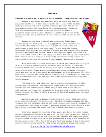
Nevada Worksheet
Nevada is the driest state in the country, getting an average of just 7.5 inches of rainfall per year. The lack of precipitation is caused by the Sierra Nevada Mountains of California.
Nevada Multiple Choice Questions
Much of Nevada is indeed desert terrain. Much of northern Nevada is part of the Great Basin Desert while the southern point of Nevada is within the Sonoran Desert.
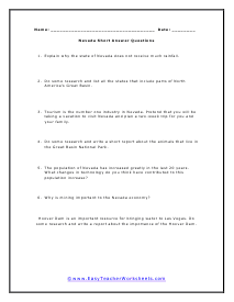
Nevada Short Answer Questions
Tourism is the number one industry in Nevada. Pretend that you will be taking a vacation to visit Nevada and plan a two-week trip for you and your family.
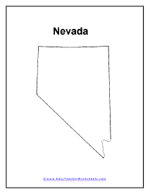
Nevada Map
After South Africa and Australia, Nevada is the third-largest producer of gold in the world. Nevada mines also produce silver and copper.

Nevada Information Organizer
The state of Nevada has been steadily growing in population. In 1900, Nevada had the smallest state population in the nation but 100 years later, Nevada was the fastest growing state.
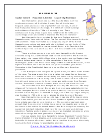
New Hampshire Reading Worksheet
New Hampshire is surrounded by the New England states of Massachusetts, Vermont and Maine. The Connecticut River forms the border with Vermont.
New Hampshire Multiple Choice Questions
New Hampshire can be affected by hurricanes that move across what (where)?
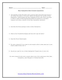
New Hampshire Short Answer Questions
The Old Man of the Mountain was a natural stone face that was found in the White Mountains in the early 1800s and became the symbol of New Hampshire. Unfortunately the face collapsed off the side of the mountain in 2003 in spite of best engineering efforts to preserve it.
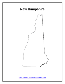
Map of New Hampshire
Lake Winnipesaukee occupies 72 square miles just about in the middle of the state. The area around the lake is called the Lakes Region because there are a total of 273 lakes nearby filling low areas left by ancient glaciers.
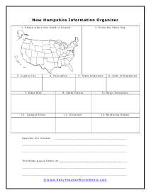
New Hampshire Information Organizer
New Hampshire is a good place to live. It has one of the lowest crime rates in the nation, provides an excellent educational system, and does not have a state sales tax or state income tax*.
New Jersey
New Jersey is located on the Atlantic Ocean on the east coast of the United States just south of New York.
New Jersey Multiple Choice Questions
The nickname The Garden State is possible for New Jersey because much of the land is what?
New Jersey Short Answer Questions
Find a recipe that uses canned fruit as an ingredient and try making and tasting it at home. Share your experience orally with your class.
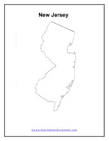
New Jersey Map
Historically, New Jersey farms have provided fresh produce for major cities along the east coast of the United States since the 1800s, giving New Jersey the nickname of the Garden State.

New Jersey Information Organizer
The upper portion of New Jersey is a combination higher ground that contains a bit of the Appalachian Mountains in the western corner.
New Mexico
New Mexico is located in the southwestern United States and is the fifth largest state in land area. New Mexico is nearly square with each border being about 350 miles long.
New Mexico Multiple Choice Questions
Like Iowa and Kansas the eastern portion of New Mexico contains what?
New Mexico Short Answer Questions
Carlsbad Caverns National Park is a major tourist attraction in New Mexico. Do some research and write a short report about the natural features of this park.
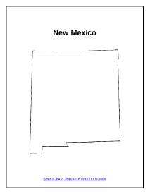
New Mexico Map
Being such a large state, New Mexico contains five distinct land regions. The Great Plains that cover the Midwestern states of Iowa, Nebraska and Kansas extend into the eastern portion of New Mexico. Even though the land is arid, the grasslands there were once home to herds of buffalo. The Pecos River which flows north to south roughly forms the western border of the Great Plains.

New Mexico Information Organizer
With its location on the Mexican border and its history of Spanish exploration and settlement beginning in the 1500s, New Mexico and its culture was influenced by a mixture of Hispanic and American influences as European settlers traveled to the southwest.
New York Worksheet
New York is located in the northeast corner of the U.S. and forms the western border of three New England states: Vermont, Massachusetts and Connecticut. A great resource to learn more about New York in the modern age can be found here.
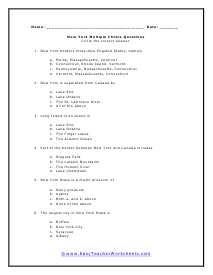
New York Multiple Choice Questions
Part of the border between New York and Canada includes what areas?
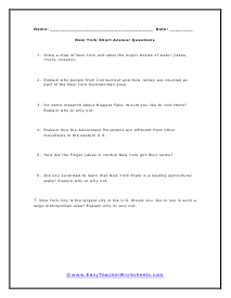
New York Short Answer Questions
Explain why people from Connecticut and New Jersey are counted as part of the New York metropolitan area.
New York Map
New York is home to over 6,000 lakes and ponds. Other large lakes include Lake George located just south of Lake Champlain and Oneida Lake in the center of the state.
New York Information Organizer
Explain why people from Connecticut and New Jersey are counted as part of the New York metropolitan area.
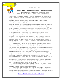
North Carolina Worksheet
The main islands of the Outer Banks are named Bodie, Roanoke, and Hatteras. Some of the Outer Banks islands have capes and shoals. Capes are small pieces of land that jut out into the ocean and shoals are shallow sandy or rocky areas that extend beyond or around a cape.
North Carolina Multiple Choice Questions
Agricultural products that are important to North Carolina's economy include what items?
North Carolina Short Answer Questions
Do some research about the Great Smoky Mountain National Park. Select three places in the park you'd like to visit and explain why you would like to explore them.
Map of North Carolina
The western 10 percent of the state is the mountain region, home to the southern edge of the Appalachian Mountains.

North Carolina Information Organizer
North Carolina has been attracting people from across the U.S. and the population has grown rapidly since the 1980s as North Carolina became recognized as a progressive place to live.
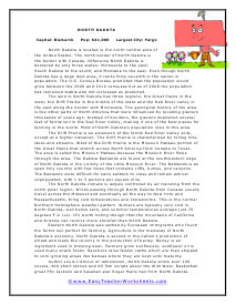
North Dakota Worksheet
The land in North Dakota has three regions: the Great Plains in the west; the Drift Prairie in the middle of the state and the Red River valley in the east along the border with Minnesota.
North Dakota Short Answer Questions
Explain how the winter weather at the northern polar regions influences the weather in North Dakota and New York.
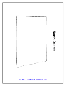
Map of North Dakota
The North Dakota climate is largely controlled by air traveling from the north polar region.

North Dakota Information Organizer
Eastern North Dakota was settled by European immigrants who found the fertile soil perfect for farming. Agriculture is the mainstay of North Dakota's economy.
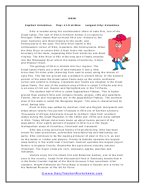
Ohio Reading Worksheet
Ohio is located along the southwestern shore of Lake Erie, one of the Great Lakes.
Ohio Short Answer Questions
The Goodyear Tire and Rubber Company has its headquarters in Akron, Ohio. Do some research and write a report about the history of this famous American company.
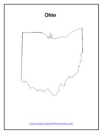
Ohio Map
The geology of Ohio is divided into four regions. The Great Lakes Plains are a strip of land between 5 and a little more than 50 miles wide (traveling from east to west) along the shores of Lake Erie.

Ohio Information Organizer
The eastern half of Ohio is called Appalachian Plateau. This is higher ground than western Ohio and contains forests, gorges, cliffs and waterfalls.
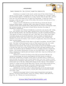
Oklahoma Worksheet
Oklahoma is located in the south central area of the United States. It has an unusual shape. In addition to the usual rectangle for a western state, the northwest region of Oklahoma is a long, narrow strip of land that juts out from the rest of the state and is called the Panhandle.
Oklahoma Short Answer Questions
Oklahoma officials want to develop the potential for wind farms in the state. Do some research and write a short report about the impact these wind farms would have on the native bird called the prairie chicken.
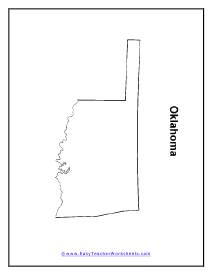
Map of Oklahoma
The western portion of the state is at higher elevations, around 2,000 feet. This area is characterized by red soil that results from the iron oxide that it contains.

Oklahoma Information Organizer
Oklahoma is known for being windy and government officials are trying to encourage the future development of wind farms to produce electricity.
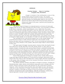
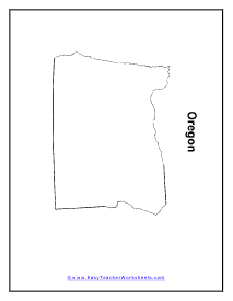
Oregon Worksheet
Oregon is located in the northwestern corner of the United States along the Pacific Ocean. The mighty Columbia River forms about two-thirds of the boundary between Oregon and Washington State to the north.
Oregon Short Answer Questions
The Snake River forms part of the border between Oregon and Idaho. A part of this section of the Snake River is called Hells Canyon National Recreation Area.
Map of Oregon
The Pacific Coast of Oregon is characterized by a mixture of rocky and rugged cliffs as well as sandy beaches and sand dunes.

Oregon Information Organizer
Most of the population of Oregon is located in the vicinity of the Pacific Coast and about half the people live in and around Portland, about forty miles inland from the ocean on the Columbia River.
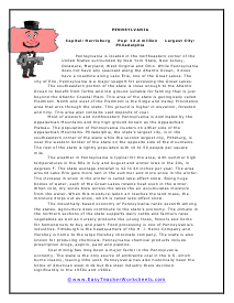
Pennsylvania Worksheet
Pennsylvania is located in the northeastern corner of the United States surrounded by New York State, New Jersey, Delaware, Maryland, West Virginia and Ohio.
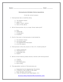
Pennsylvania Multiple Choice Questions
Which of the following states shares a border with Pennsylvania?
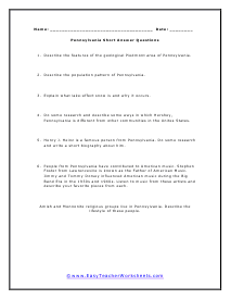
Pennsylvania Short Answer Questions
Describe the features of the geological Piedmont area of Pennsylvania.
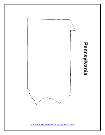
Pennsylvania Map
The weather in Pennsylvania is typical for the area, with summer high temperatures in the 80s in July and August and winter lows in the 20s, in degrees F. The state average snowfall is 42 to 44 inches per year.

Pennsylvania Information Organizer
Huge drops of water out as snow, which is called lake-effect snow. The industrially-based economy of Pennsylvania ranks seventh among the states. Agriculture does contribute to the state's economy.
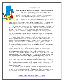
Rhode Island Worksheet
Rhode Island is the smallest state in the United States. Having a land area of barely 1,545 square miles, Rhode Island is densely populated with an average of 1,022 people per square mile.
Rhode Island Multiple Choice Questions
Which branch of the U.S. military contributes significantly to Rhode Island's economy?
Rhode Island Short Answer Questions
The Hasbro toy company has produced popular toys and games for generations. Look up the toys and games made by Hasbro and describe your favorite.
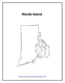
Map of Rhode Island
In this eastern region of the state the Narragansett Bay contributes to the four hundred miles of ocean coastline that are part of the state of Rhode Island. Within the Bay are many islands.
Rhode Island Information Organizer
Although it is the smallest of the fifty states, Rhode Island has made many contributions to America because of the great people who called the state home.
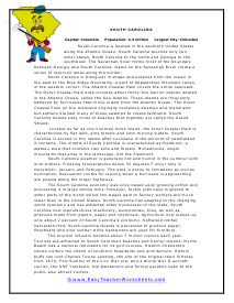
South Carolina Reading Worksheet
South Carolina is located in the southern United States along the Atlantic Ocean. South Carolina touches only two other states, North Carolina to the north and Georgia to the southwest.
South Carolina Multiple Choice Questions
What is the role of agriculture in South Carolina's economy?
South Carolina Short Answer Questions
Gospel music is a southern tradition that extends to South Carolina. Early gospel music used shape-note singing.
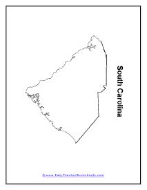
Map of South Carolina
South Carolina weather is generally hot and humid in the summer with mild winters. Freezing temperatures below 32 degrees F occur only in December, January and February.

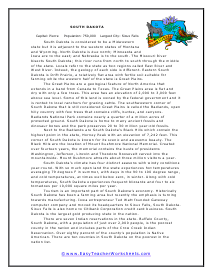
South Dakota
South Dakota is considered to be a Midwestern state but it is adjacent to the western states of Montana and Wyoming.
South Dakota Short Answer Questions
People in South Dakota refer to parts of their state as East River and West River. Think about your own state or city. What are some local terms that are used in your area that might be unfamiliar to outsiders?
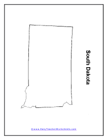
Map of South Dakota
The Great Plains are a geological feature of North America that extends in a band from Canada to Texas. The Great Plains area is flat and dry with only a few trees.
South Dakota Information Organizer
Tourism is an important part of South Dakota's economy. Historically South Dakota has been a farming area but recently the emphasis is turning towards manufacturing.
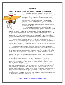
Tennessee
West of the Appalachians the land has deep valleys that locals call hollows. A wide valley simply called the Great Valley is fertile land when farmers raise dairy cattle and cotton.
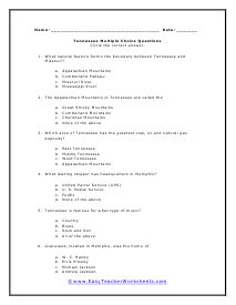
Tennessee Multiple Choice Questions
Which area of Tennessee has the greatest coal, oil and natural gas deposits?
Tennessee Short Answer Questions
Andrew Jackson was the seventh president of the United States. Jackson began building a home near Nashville in 1819 and he named it The Hermitage. Do some research and write a report about how The Hermitage has been preserved as a museum since 1889.
Tennessee Map
Tennessee manufactures automobiles, auto parts, airplane parts, and bicycles. Electronics firms have moved into the state. FedEx, a leading shipping company, has its headquarters in Memphis.

Texas
Texas was the largest state in physical size until Alaska became a state in 1959. Texas is located in the southern U.S. and the Rio Grande River forms a diagonal border with Mexico to the southwest.
Texas Multiple Choice Questions
Which order of states by size, from largest to smallest, is correct?
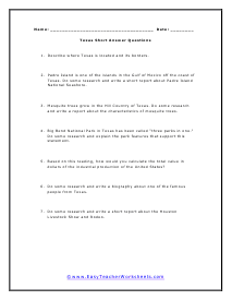
Texas Short Answer Questions
Padre Island is one of the islands in the Gulf of Mexico off the coast of Texas. Do some research and write a short report about Padre Island National Seashore.
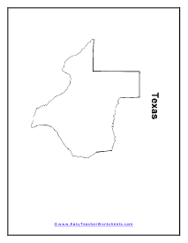
Map of Texas
Over half of the state is covered by land known as the Great Plains and at the western Great Plains are called High Plains.

Texas Information Organizer
With almost eleven million workers in the state, Texas stands second in total employment in the country. While now largely an urbanized state, Texas cattle sales contribute almost six billion dollars to the state's economy.
Utah
Utah is a state of magnificent natural beauty located in the middle of the western United States. It is surrounded by the states of Idaho and Wyoming to the north, Colorado to the east, Arizona the south, and Nevada to the west.
Utah Short Answer Questions
Bryce Canyon National Park is located in southern Utah. Locate pictures of Bryce Canyon and use colored chalk or colored pencils to create your own artist's view of one of the canyon's scenic wonders.
Utah Map
Utah has only 2.5 million people and almost ninety percent live in cities and towns. The population of Utah more than doubled between 1970 and 2000. The largest employer in Utah is the U.S. Air Force through a military base in Ogden.

Utah Information Organizer
Utah became a focal point for tourism when it hosted the 2002 Winter Olympic Games. Now boasting thirteen major ski resorts, people come to Utah from all over the world to enjoy the majestic mountains and their fabulous snow.
Vermont
Vermont has a triangular shape that is the opposite of its eastern neighbor New Hampshire. Vermont is wide at the north and narrow at the south.
Vermont Multiple Choice Questions
The other New England states have beaches to attract tourists. Instead Vermont promotes what?
Vermont Short Answer Questions
Local people claim that there is a sea monster in Lake Champlain that they call Champ. Do some research and write a report about this U.S. version of the Loch Ness monster.
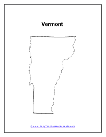
Map of Vermont
Vermont has a typically cold climate due to its northerly location and the mountainous terrain.

Vermont Information Organizer
Vermont is still known for its dairy industry. Vermont has a reputation for producing mozzarella cheese as well as quality cheddar cheese.
Virginia
Virginia is the 35th largest state in physical size. It has a diverse geography from lowland coastal plains to Mount Rogers which is 5,722 feet high.
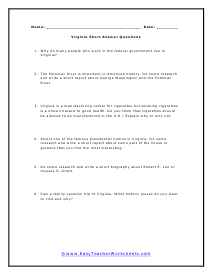
Virginia Short Answer Questions
Virginia is a manufacturing center for cigarettes but smoking cigarettes is a known hazard to good health. Do you think that cigarettes should be allowed to be manufactured in the U.S.?
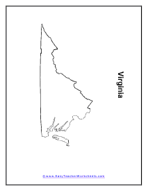
Virginia Map
Almost two-thirds of all Virginians are concentrated in the urban bases of Richmond, Hampton Roads, and the suburban areas bordering the Washington D.C. area.
Virginia Information Organizer
Virginia is a tremendous area of American history. This makes tourism an important part of the state's economy.
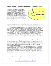
Washington
The Cascade Mountains divide the state into two entirely different climate zones. One zone is on the western side of the mountains.
Washington Short Answer Questions
Washington's fishing industry harvests oysters, salmon, clams, cod, and crabs. Do some research and write a short report about the habitat and life cycle of one of these marine creatures.

Washington Information Organizer
About one-half of Washingtonians live in the cities of Seattle, Tacoma, and Bellevue. These cities are on the shores of Puget Sound.
Washington State Map
Once the state's economy was based around just three commodities - logging, fishing, and farming, called the Big Three.
West Virginia
Almost 80 percent of the state is covered with trees. The original forests were cut down by farmers and loggers but concern for the loss of the original trees caused the state to create a massive replanting program.
Map of West Virginia
State legislators have worked hard for decades to bring more diverse business to the people of West Virginia.

West Virginia Information Organizer
State legislators have worked hard for decades to bring more diverse business to the people of West Virginia. U.S. Senator Robert Byrd and Presidents Kennedy and Johnson created projects valued at tens of millions of dollars to aid the state to become economically more diverse.
Wisconsin
The area of Wisconsin was significantly affected by the movement of ancient glaciers. As a result, the land in Wisconsin can be described as four different geologic types.
Wisconsin Multiple Choice Questions
Most of Wisconsin's forests are located in what part of the state?
Wisconsin Short Answer Questions
The Apostle Islands National Lakeshore is located off the coast of Wisconsin in Lake Superior. Do some research and write a report about some feature of the natural area that interests you.
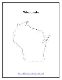
Wisconsin State Map
The Western Upland is located in the southwestern area of the state and has high hills with beautiful views in its valleys. While the soil is of good quality the hilly nature of the land makes farming difficult.

Wisconsin Information Organizer
Wisconsin is world renown for its Green Bay Packer football team of the National Football League (NFL). Made famous by their coach, the immortal Vince Lombardi, the Packers won the first two Super Bowls ever held.
Wyoming
Wyoming is a large state, tenth in the nation in land area. Yet Wyoming has the least population of any state in the U.S. with only about a half a million residents.
Wyoming Multiple Choice Questions
Wyoming is home to the first national park in America and the world. Two to three million visitors come to Yellowstone National Park each year.
Wyoming State Map
Because of its geology more than thirty percent of Wyoming's income is from the mining industry. Coal from Wyoming has a low sulfur content which means that it makes less pollution when used as a fuel.

Wyoming Information Organizer
One might think that with the smallest population in the United States that Wyoming has had few people of historic significance.
The United States is made up of 50 states. Each state has a permanent population and is controlled by a sense of a central government that reports to the Union (federal government), they each have a sense of sovereignty and land integrity. What makes the United States unique, in one respect, is that each State has the ability to self-govern their citizens with laws unique to them. The worksheets found above look at how each state shaped and grew throughout history. We also point out really interesting facts.
Did you know that Razorback country is the only state to have an active diamond mine? Maybe that's why slabs of carbon are so pricey. Did you know that Hawaii was home to a royal palace? I always knew that Louisiana was famous for crayfish, but did you know that greater than ninety-five of the world's crayfish reside there? Another one that I couldn't have made up if I tried; the oldest rock in the world was found in Minnesota. This section is filled with new thoughts and ideas.
Why Are There 50 Different State Governments?
The United States has a federal government headed by the President and Vice President and supported by the United States Congress. It also has a federal Supreme Court that serves as the highest court in the country and hears cases deemed to be of national importance. However, it also has 50 state governments – but why do these state governments exist?
The United States has 50 different state governments because the U.S. Constitution enshrines the separation of powers. This means power in the United States is divided between state and federal governments, and each of the 50 states has a state government to ensure effective separation of powers.
Keep reading to understand this concept in further detail and how the United States state governments work. I’ll answer any questions you may have on this topic.
Why Separation of Powers Is Important
The separation of powers is important because it ensures that power is not concentrated with a single person at the head of the country or a very small group of people. These individuals may not have the best interests of the people in mind or may have different beliefs than most Americans.
This separation of powers that results in the creation of both state and federal governments is known as federalism. It is meant to eliminate the disadvantages of both a unitary system (only a federal system of government, as held by the British government during the American Revolutionary War) and a confederacy, in which power is concentrated in state governments, with very little held by the federal government.
Federalism ensures laws have some variation to meet the differing needs of people from different states. For example, people in a coastal state may have different views on what clothes are appropriate to wear on beaches than people in non-coastal states. It wouldn’t be fair for people from non-coastal states to dictate laws about this for coastal states – and federalism ensures this wouldn’t be the case.
On the other hand, a strong federal government ensures unison between the people of the country, and the existence of laws and beliefs bind them together. Confederations with weak federal governments tend to break apart into different countries easily, and, once again, federalism ensures this isn’t an issue.
This isn’t to say that federalism is perfect. There can be internal power struggles, and state and federal governments can disagree over how much power the other has and whether (and which) federal laws should supersede state laws.
In the United States, this conflict is best embodied in the Civil War, where some states rebelled against the federal government when laws they disagreed with regarding the legality of slavery were passed at the federal level.
How State Governments Are Structured
The United States Constitution requires the existence of three branches of the federal government – that is, the executive, the legislative branch, and the judiciary. However, it does not mention how state governments should be structured beyond the fact that they should exist.
However, despite this lack of clarification, all 50 state governments share the same structure – the federal one. They have an executive (the state governor), a legislative (the state legislature), and a judiciary (the state Supreme Court and the state court system). All states also have their own constitution.
It should be noted that state constitutions do not overrule federal constitutions. Under the Supremacy Clause (laid out in Article VI, Clause 2 of the United States Constitution), the U.S. Constitution and federal law override a state’s constitution and state law in cases where the two conflict.
For example, in Cooper v. Aaron (1958), the Supreme Court ruled that attempts by the state of Arkansas to nullify the court’s previous decision in Brown v. Board of Education (1954) and reinstate segregation until at least 1961 was unconstitutional.
Perhaps the best-known conflict between state and federal laws today is the issue of marijuana use. Though both are illegal under federal law, 37 states allow medical use of marijuana, and 19 states allow recreational use.
This can cause significant issues for growers and users. Growers cannot legally open bank accounts even if they have state licenses. Both growers and users can be prosecuted under federal law and by federal law enforcement agencies, even if they follow their respective state laws.
Final Thoughts
There are 50 different state governments in the United States because of the ideas of separation of powers and federalism. However, while each state has its own constitution, executive, legislature, and judiciary, the United States Constitution and federal laws take precedence if there is a conflict between the state and the federal government.